
|
|||
Amboy Crater Not too many people think of violent volcanic activity in southern California, but the area was teaming with many volcanic eruptions in this region as early as 300 years ago. Amboy Crater was created about 6,000 years ago. It is about 250 feet tall and a half a mile wide. This crater spat gaseous lava into the air and as it cooled hardened into a sharp porous rock known as cinders. This cinder cone, like many others, dot the region and because they are a bit more resistant to weathering than a other desert formations, they tend to last longer. You can hike to the top of Amboy Crater. The view is spectacular and the hike will take you about 2 and a half hours. |
|||
Getting There- Las Vegas to Amboy Crater 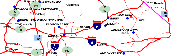 Take US route 93/95 I-215 south to the US-95 exit south. Travel US-95 to I-40 west. Take I-40 to Kelbaker Rd south (left at exit). Take Kelbaker Rd to National Trails Hwy (Old route 66) west (right). Take National Trails Hwy to Amboy Rd south (left) Traveling down Amboy Rd, you should be able to see the crater to your right. Take the dirt road that leads to the crater west (left), and you are there. |
|||
|
Back to: 
|